Switch to the dark mode that's kinder on your eyes at night time.
Switch to the light mode that's kinder on your eyes at day time.
Forgotten Town, Forgotten Route: Dilia, NM
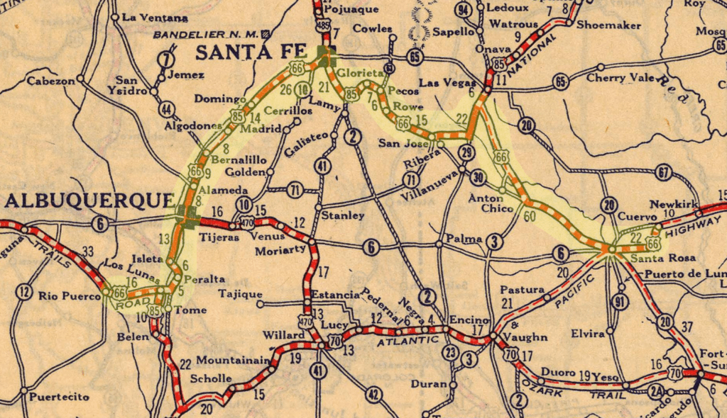
A ghostly apparition. I stumbled upon Dilia, New Mexico while traveling along the original 1926 alignment of Route 66. The old road goes northwest from Santa Rosa, up and over to Santa Fe, before looping back down south to Albuquerque.
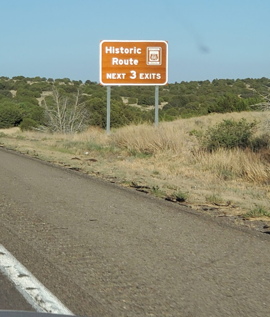
1927 Map with Santa Fe Loop highlighted. Map by the National Map Company in 1927 Official Paved Road and Commercial Survey of the United States. Source: David Rumsey Map Collection, David Rumsey Map Center, Stanford Libraries. Highlighted by DBH.I headed towards the source of the ancient Pecos River, whose waters originate from the southernmost range of the Rocky Mountains, the Sangre de Cristo Mountains. For over 10,000 years, this river has been used by Native American peoples like the Pueblo. Later, the Spanish conquistador Coronado passed through in 1540. Centuries later, farmers settled this land in the 1850s and called it Vado de Juan Paiz, before officially renaming it Dilia after a daughter of an early Hispanic settler in the town.1Sign on the road after leaving Santa Rosa due West. 34°57’54.7″N 104°45’17.3″W
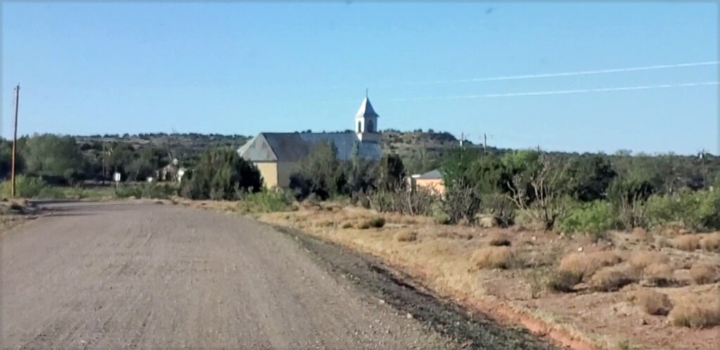
A harsh land, a contested and raided land, a land to cross to get from point A to point B. A church was built in 1900 that still holds mass today, and in 1911 a post office opened2. 1926 saw the construction of Route 66, and the town of Dilia stepped into the limelight. Perfectly situated between Santa Rosa and Romeroville, it became a vital stop along the Santa Fe loop. Travelers could stop in for supplies, a quick drink, and gas for their jalopies on their way west to Santa Fe and eventually Albuquerque and beyond, towards the setting sun.
Sacred Heart Church, built in 1900. Photo by DBH
During the worst years of the Dust Bowl, thousands of westbound travelers would have passed Dilia and the Sacred Heart Church (or Sagrado Corazón) on their journey west. This period was Dilia’s heyday, before 66 was rerouted.
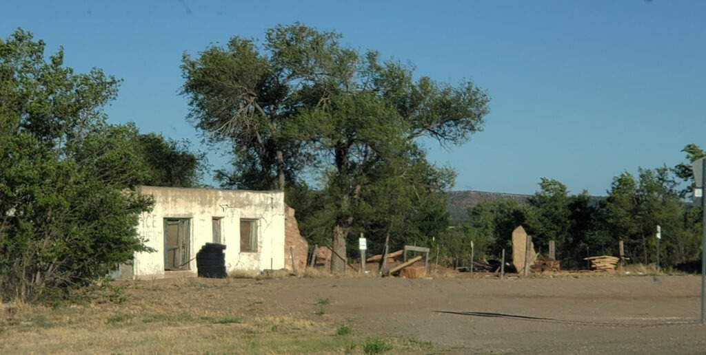
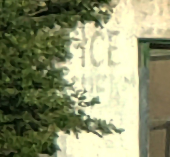
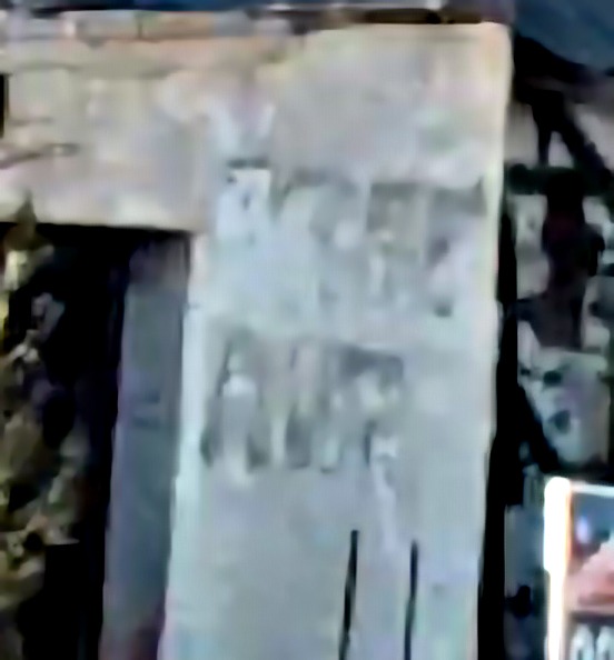
‘Ice Cream’ on the wall of an abandoned business. Photo by Dust Bowl Highway
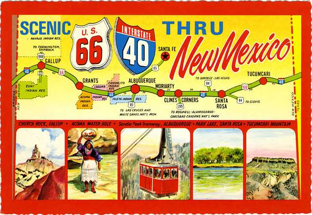
This realignment in 1937 bypassed Dilia and Santa Fe completely, with a new straight-west stretch of the Mother Road connecting Santa Rosa to Moriarty to Albuquerque.
Postcard from 1950’s showing the realigned route, bypassing Dilia. Credit: New Mexico – Scenic U.S 66 Interstate 40 (NBY 436834).” 1905-1949. The Newberry Library, collections.carli.illinois.edu.
The new road followed the 35th parallel and would eventually become part of the modern interstate, I-40. Dilia would never be the same.
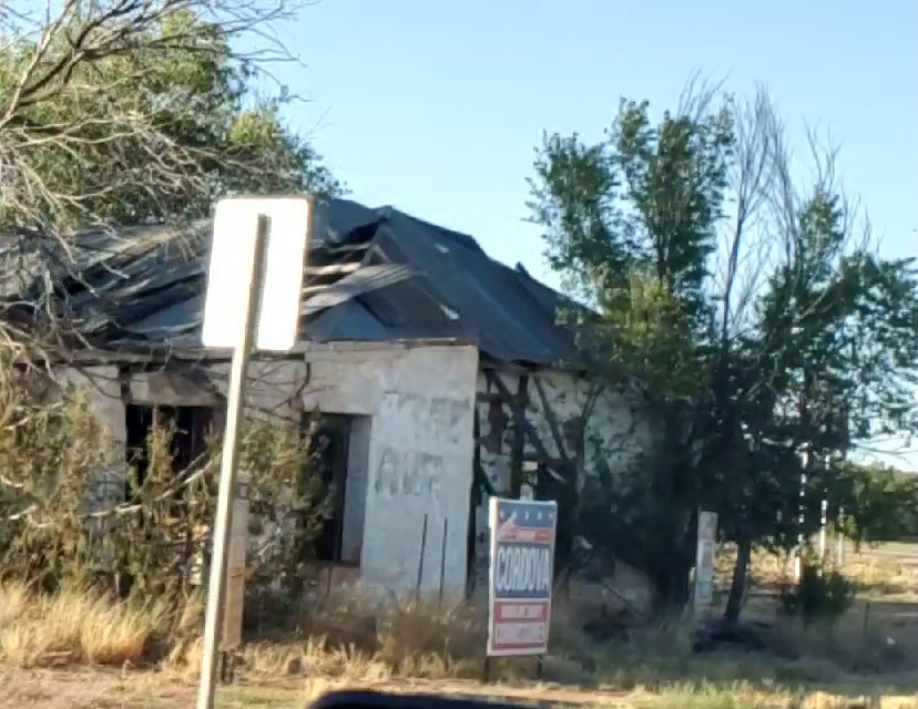
No More Free Air. Photo by DBH
Decay ensued as the flow of traffic to Dilia was cut off. The slow process of decomposition and the return to dust begins again. Entropy wins.
The post office closed in 1968. The final stamp.
Photo by Dust Bowl Highway
Dilia is not completely abandoned, but it is a ghost of what it once was. The buildings show the cadaverous bruises of decay, beaten down by the powerful winds of storms that molest this barren and enchanted landscape.
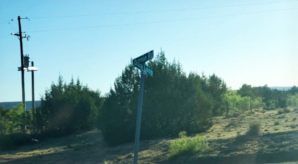
Dilia Street Sign. Photo by Dust Bowl Highway
I drove through here in the spring of 2026. On some corners, there are street signs, and you can imagine a once-denser neighborhood as you cross the intersections. Old telephone poles and various indecipherable paraphernalia of a lost time sprinkle the landscape. The road can get rough, and in some parts, it isn’t clear where it ends or begins.
Photo by Dust Bowl HighwayPhoto by Dust Bowl Highway
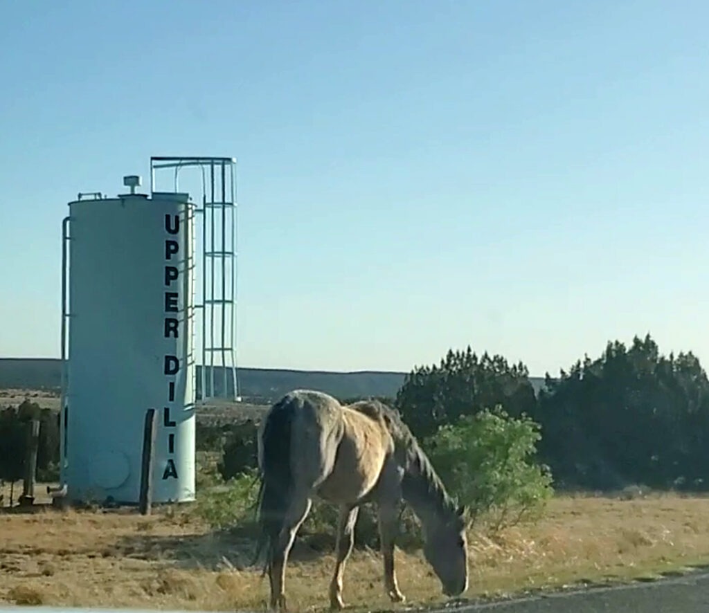
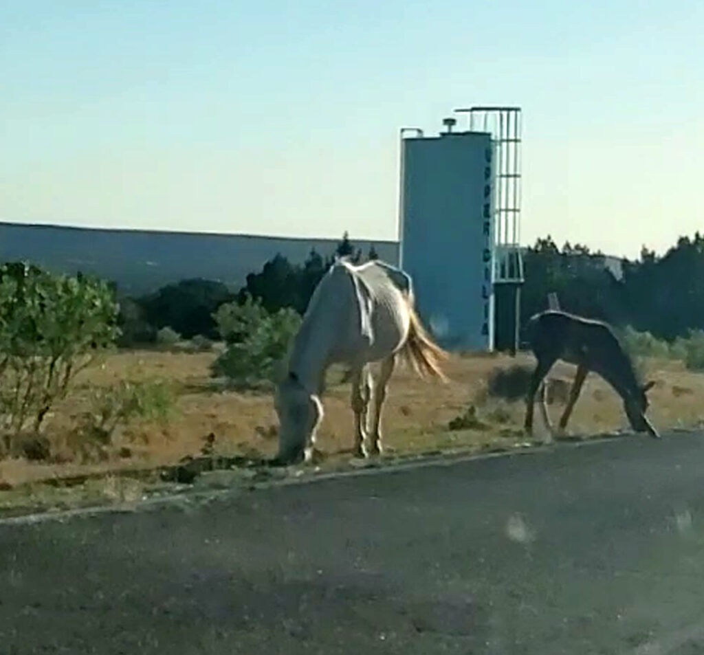
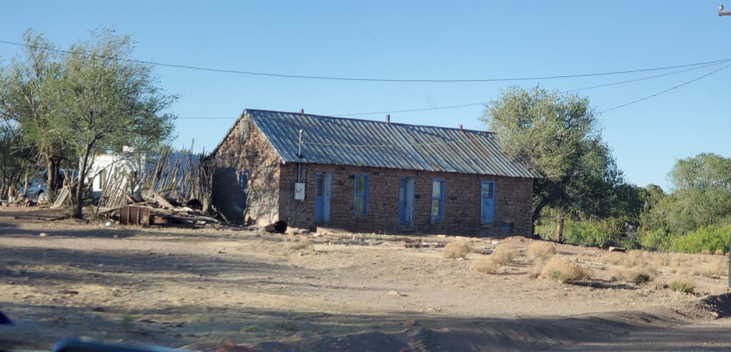
I turned back past some horses grazing on the side of the dirt road and noticed a few houses which were still inhabited.
Photo by Dust Bowl Highway
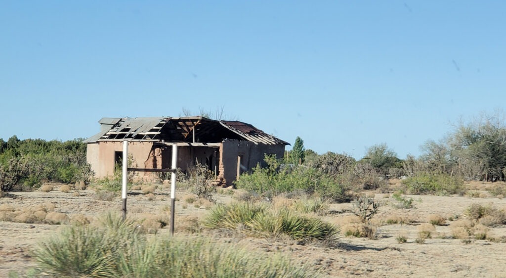
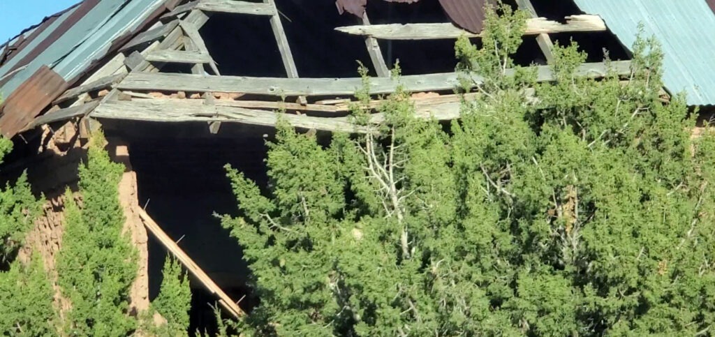
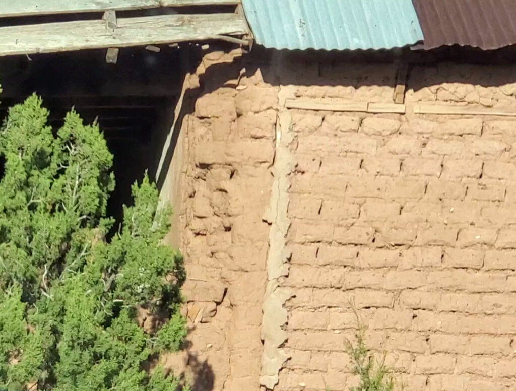
Other structures are abandoned, left to ghosts and the sunlight shining through holes in the roof and crumbling walls.
Photo by Dust Bowl HighwayPhoto by Dust Bowl Highway
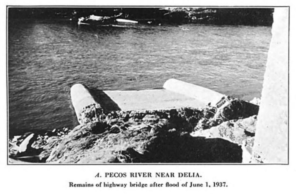
At the southern part of the town lies the remains of the bridge that once crossed the mighty Pecos River. The crossing washed out in a flood in 1937, the same year the stream of traffic from 66 dried up. You can still see some remnants of what once was the road.
Dilia Bridge washed out in 1937. Photo: US Geological Survey – Water-Supply Paper 843, 1939.
Back on the road, I realize I am not far from old Las Vegas, New Mexico. Just a few miles north of Romeroville, it is the famed stop on the Santa Fe Trail where the old West’s most famous desperadoes and outlaws convened. Voices of ghosts echo in this land. These are old crossroads, where stories of the past flurry and flow like dust on the highway.
Works Cited
1. Julyan, Robert. The Place Names of New Mexico. Albuquerque: University of New Mexico Press, 1996.
2. Tidwell, Cynthia C., and Henry Rosoff. Historic Route 66 National Scenic Byway Corridor Management Plan. New Mexico Route 66 Association, 2009, Link.