Switch to the dark mode that's kinder on your eyes at night time.
Switch to the light mode that's kinder on your eyes at day time.
The Ghost Town on the Texas / New Mexico State Line
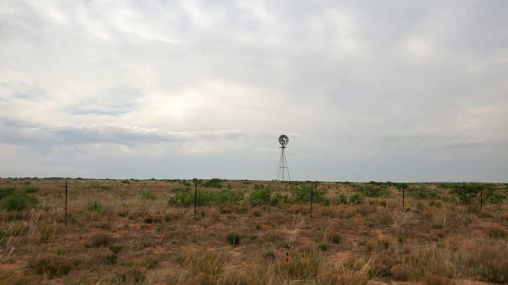
Heading west from Amarillo on the Dust Bowl Highway, what is now Interstate 40, time begins to slow down. Time dilation. The tumbleweeds and dust cloud the vision, an old windmill spins far in the distance. Endless miles of brown grass, an occasional cow, or was that a pronghorn?
Photo by Dust Bowl Highway
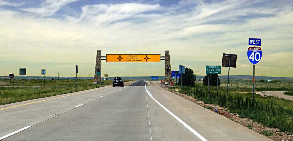
Then, like a mirage, a sign appears. New Mexico. The Land of Enchantment. You are in Glenrio, New Mexico and Texas. The state line goes right through the town.
Welcome to New Mexico. Photo by Pom’, CC BY-SA 2.0 via Flickr
Just south of this sign, parallel to the current highway, lies the old Road. Its remnants make it easy to imagine how it once looked.
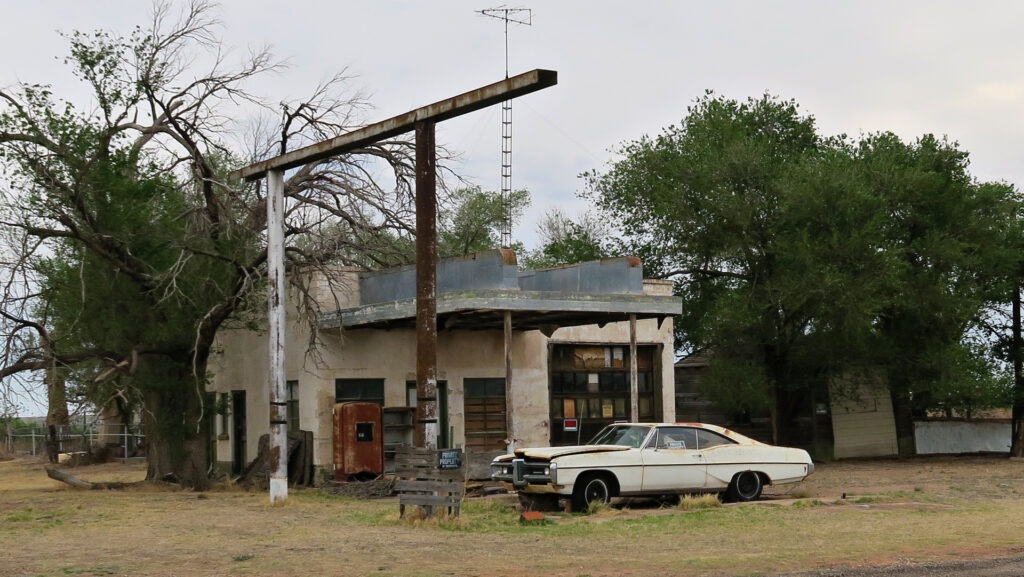
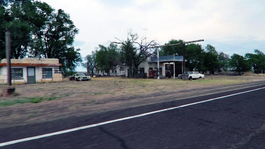
Old Texaco Gas Station built in 1950 in Glenrio, NM. Photo by Dust Bowl Highway
Glenrio was once a key spot in the desolate high plains between larger towns on the way, with Amarillo 73 miles to the east and Tucumcari 41 miles to the west.
Photo by Dust Bowl Highway
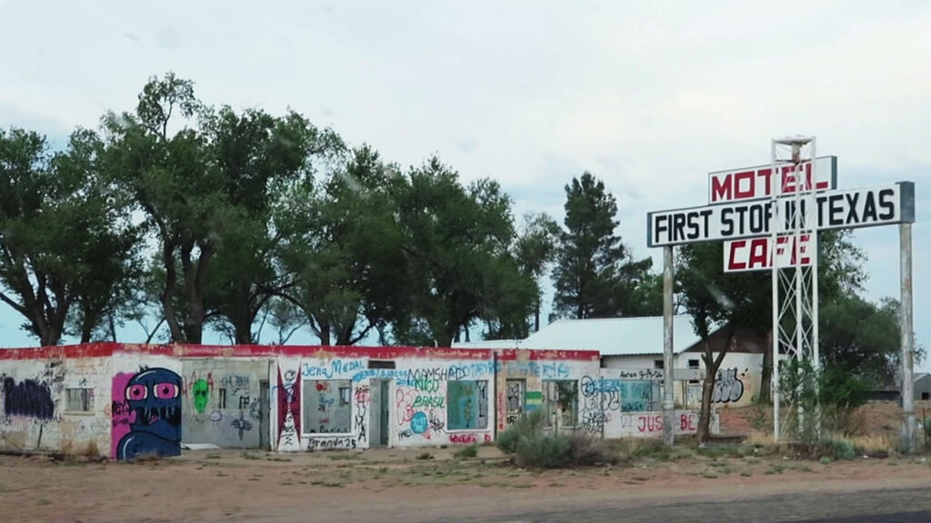
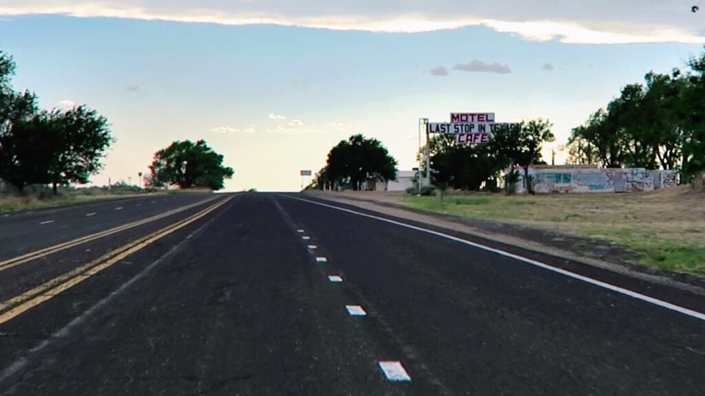
During the 1940s and 50s, Glenrio was host to diners, bars, western-themed motels, a dance hall, and gas stations. A neon oasis in the desert. The remnants of these can be seen today, like the State Line Motel whose sign reads “Motel, Last in Texas” when heading west, and “Motel, First in Texas” for those heading east.
“First Stop in Texas” on Old Route 66. Photo by Dust Bowl HighwayLast Stop in Texas on Route 66. Photo by Dust Bowl Highway
Glenrio’s good times ended when a new highway, I-40, was built just above the old town in 1975.
The town now has a different type of destination for some travelers, with the Glenrio Smoke Stop being a highly recommended stop for adult visitors.
You can drive along the rugged old road, but a car with high clearance is recommended. Some of the gravel roads go through deep ditches and bumpy terrain.
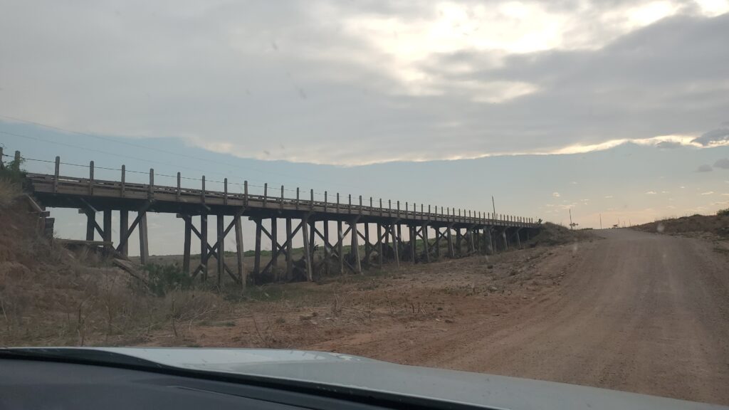
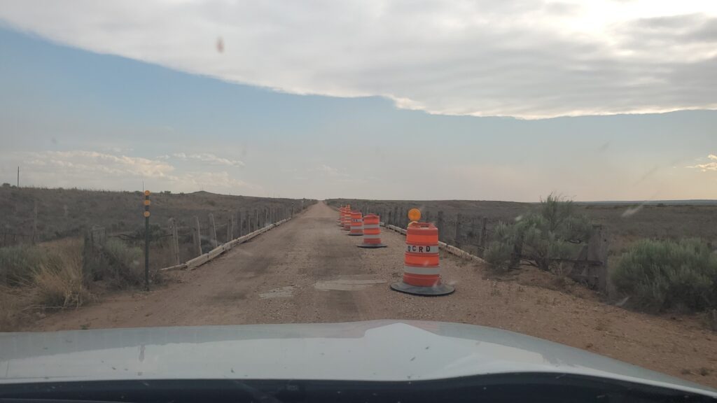
Old bridge along Old Route 66 west of Glenrio, NM. Photo by Dust Bowl Highway
Occasional artifacts and a few interesting structures can be seen, such as some old bridges. In the photo above, you can see how the road dips deep — a dip that would be completely flooded during a heavy rain — as it goes past the old San Jon Creek Bridge. This is one of two ‘timber stringer’ bridges built along this way in 1931 after the road was washed out.
Photo by Dust Bowl Highway
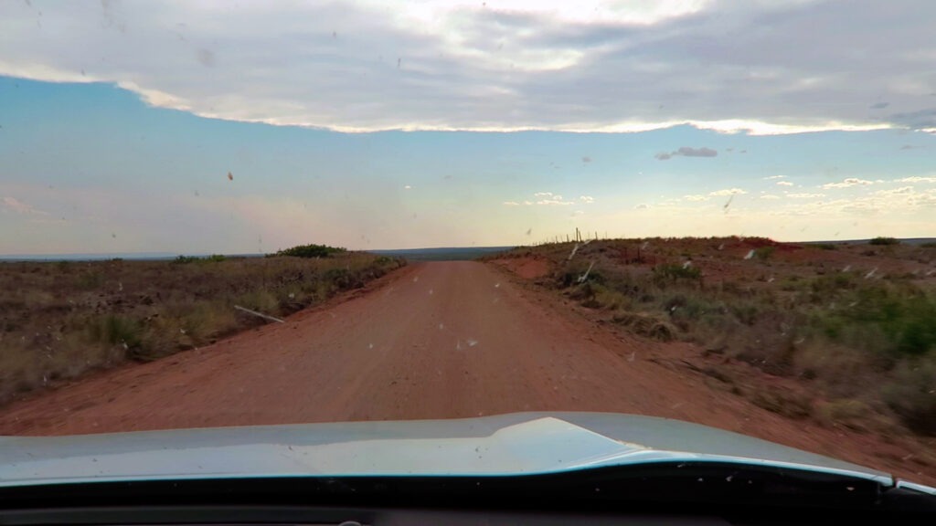
This route follows the path of the original Route 66 alignment, which connected Glenrio to San Jon, New Mexico.
Dirt road section of Old Route 66 west of Glenrio, NM. Photo by Dust Bowl Highway
The old road runs parallel to the abandoned bed of the old ‘Rock Island Line’ — the Chicago, Rock Island and Pacific Railroad that connected Amarillo to Tucumcari. As Lead Belly once sang, the Rock Island Line is a mighty good road…
The Rock went bankrupt in 1980, and the track segment was abandoned.
You can still see some remnants, scattered trestles along the way.
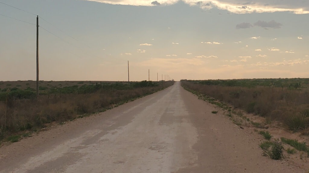
Old Route 66 west of Glenrio, NM. Photo by Dust Bowl Highway
This terrain is not forgiving, and that which still stands is a testament to that which persists.
During heavy rain, the roads may flood and washout, so keep your eye on local weather forecasts when headed out on the old road.
But if the weather is nice, you can still drive the whole way.